
The drainage system of Jharkhand is controlled by the Chota Nagpur Plateau. Rivers descend from plateau watersheds through rocky valleys, form waterfalls at sharp breaks of slope, and ultimately drain either northward into the Ganga system or east and south-east toward the Bay of Bengal.
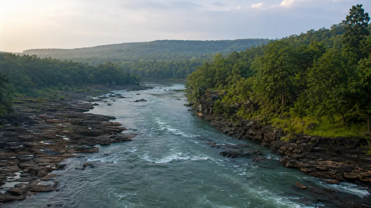
Characteristics of the Drainage System of Jharkhand
Jharkhand occupies a large part of the ancient Chota Nagpur Plateau. Its uneven relief, hard crystalline rocks, faulted blocks, residual hills and stepped plateau surfaces decide the direction and character of river flow. The Ranchi Plateau and the higher western plateaus act as important water divides.
Drainage pattern
A dendritic pattern is common over relatively uniform granitic and gneissic terrain: small streams join larger channels like the branches of a tree. Structural control by joints, faults, resistant ridges and Gondwana troughs can locally produce angular, rectangular or trellis-like reaches. Therefore, the whole state should not be described by a single drainage pattern.
Major Drainage Divisions of Jharkhand
The most useful way to study the drainage system of Jharkhand is by its final receiving basin rather than by memorising an isolated list of rivers.
North and north-west
The Son skirts the north-western side. North Koel, Kanhar and associated streams drain toward the Son and therefore into the Ganga.
Central and eastern plateau
Damodar–Barakar occupies the coal-bearing trough, while Subarnarekha descends eastward through Ranchi and Singhbhum.
Southern plateau
South Koel, Sankh and Karo drain the southern and south-western plateau before entering the Brahmani system.
North-eastern fringe
Ajay, Mayurakshi, Bansloi, Gumani and smaller channels move toward West Bengal and the lower Ganga–Bhagirathi–Hooghly network.
Major Rivers of Jharkhand: Origin, Tributaries and Destination
| River / system | Origin or Jharkhand setting | Important tributaries / linked rivers | Final drainage | Important Jharkhand association |
|---|---|---|---|---|
| Ganga | Himalayan river; flows along Jharkhand’s northern edge in Sahibganj | Receives the wider Son and lower-Ganga drainage | Bay of Bengal through the Ganga delta | Rajmahal–Sahibganj riverine belt |
| Son | Rises in the Amarkantak highlands; reaches Jharkhand’s north-western margin | Kanhar and North Koel | Right-bank tributary of Ganga | Garhwa–Palamu side of the state |
| North Koel | Upper Chota Nagpur Plateau; flows through Latehar and Palamu | Auranga, Amanat and Burha | Joins Son | Palamau Tiger Reserve landscape and North Koel project |
| Damodar | Chulhapani in the Lohardaga forest division; enters the upper Latehar–Chandwa catchment | Barakar, Konar, Bokaro and other plateau streams | Hooghly system and Bay of Bengal | Ramgarh–Bokaro–Dhanbad coal and industrial belt |
| Barakar | Hazaribagh plateau region | Usri and numerous seasonal streams | Largest tributary of Damodar | Tilaiya and Maithon dams |
| Subarnarekha | Near Nagri village, Ranchi district, about 600 m above sea level | Kanchi, Karkari and Kharkai | Flows independently to Bay of Bengal | Hundru Falls, Getalsud reservoir and Chandil dam |
| South Koel | Near Nagri on the Ranchi Plateau | North Karo and other western plateau streams; meets Sankh downstream | Upper course of the Brahmani system | Ranchi–Lohardaga–Gumla–West Singhbhum drainage |
| Sankh | Rises in Gumla district | Receives smaller plateau streams and meets South Koel | Helps form Brahmani near Rourkela | Gumla and Simdega drainage |
| Ajay | Enters the north-eastern plateau belt and flows toward West Bengal | Pathro and Jayanti among regional tributaries | Bhagirathi–Hooghly system | Deoghar–Jamtara belt |
| Mayurakshi | Rises from the Trikut hill area near Deoghar | Several Santhal Pargana streams | Flows into West Bengal and the Bhagirathi system | Masanjore dam |
Major River Basins Explained
1. Subarnarekha River Basin
The Subarnarekha is an important east-flowing inter-state river. India-WRIS records its origin near Nagri village in Ranchi district at about 600 metres elevation and gives its total length as approximately 395 km. The river crosses Jharkhand, West Bengal and Odisha before reaching the Bay of Bengal.
Its principal tributaries include the Kanchi, Karkari and Kharkai. Kanchi joins from the right; the well-known Dassam Falls occurs on the Kanchi. Kharkai drains part of the Singhbhum–Mayurbhanj region and joins Subarnarekha at Jamshedpur. The river itself forms the Hundru Falls where it descends from the Ranchi Plateau.
2. Damodar–Barakar River Basin
The Damodar rises at Chulhapani in the Lohardaga forest division and soon enters the Latehar–Chandwa upper catchment. It then flows east through the Gondwana coal belt. Barakar, its largest tributary, runs broadly eastward through the northern part of the basin before joining Damodar.
This is Jharkhand’s most heavily industrialised river valley. Coalfields and industrial centres developed around Ramgarh, Bokaro, Dhanbad and the adjoining West Bengal belt. The Damodar Valley Corporation system includes Tilaiya and Maithon on Barakar, Konar on the Konar River and Panchet on Damodar. Tenughat reservoir is also located on Damodar in Jharkhand.
3. South Koel–Sankh and the Brahmani System
The South Koel rises on the Ranchi Plateau near Nagri and drains west and south-west through the Lohardaga–Gumla region before turning toward the Singhbhum side. The Sankh rises in Gumla district and drains Gumla and Simdega. Beyond Jharkhand, South Koel and Sankh unite near Rourkela to form the Brahmani.
This makes South Koel fundamentally different from North Koel: South Koel belongs to the Brahmani–Bay of Bengal system, while North Koel belongs to the Son–Ganga system.
4. North Koel–Son River Basin
The North Koel drains the western plateau, Latehar and Palamu. India-WRIS describes it as a major right-bank tributary of the Son, about 259 km long, with the Auranga, Amanat and Tahle among its important tributaries. It cuts through narrow valleys and gorges before meeting the Son near the north-western edge of Palamu.
The Burha river, a tributary within the North Koel catchment, forms Lodh Falls. The Son itself runs along the state’s north-western side and later joins the Ganga.
5. Ajay, Mayurakshi and the North-eastern Rivers
The north-eastern districts contain several rivers that flow toward West Bengal. Ajay drains parts of Deoghar and Jamtara. Mayurakshi rises near the Trikut hills of Deoghar and is impounded at Masanjore. Bansloi, Gumani and smaller streams drain parts of Santhal Pargana toward the lower Ganga–Bhagirathi region.
6. Direct Ganga and Baitarani Fringe Drainage
The Ganga forms a major riverine landscape along Sahibganj, where the Rajmahal hills approach the river. At the opposite end of the state, a small southern fringe of the Singhbhum region enters the Baitarani basin, although most of Baitarani’s catchment lies in Odisha.
Major Dams, Reservoirs and Waterfalls
| Structure / feature | River | Location or basin significance |
|---|---|---|
| Tilaiya Dam | Barakar | Upper Damodar Valley system; Koderma area |
| Maithon Dam | Barakar | Lower Barakar near the Jharkhand–West Bengal side |
| Panchet Dam | Damodar | Major DVC reservoir downstream of Jharkhand’s coal belt |
| Konar Dam | Konar | Damodar tributary and DVC system |
| Tenughat Dam | Damodar | Bokaro district |
| Getalsud Reservoir | Subarnarekha | Important water-supply and storage reservoir near Ranchi |
| Chandil Dam | Subarnarekha | Part of the Subarnarekha multipurpose system |
| Masanjore Dam | Mayurakshi | Dumka district; inter-state irrigation importance |
| Hundru Falls | Subarnarekha | Break of slope at the edge of the Ranchi Plateau |
| Dassam Falls | Kanchi | Subarnarekha tributary near the Ranchi plateau margin |
| Lodh Falls | Burha | North Koel catchment in Latehar |
Importance and Problems of Jharkhand’s Rivers
Geographical and economic importance
- Water supply: reservoirs and river intakes support Ranchi, Jamshedpur, Bokaro, Dhanbad and other settlements.
- Irrigation: large, medium and minor projects store monsoon runoff for agriculture.
- Industry: the Damodar and Subarnarekha valleys support mining, steel, power and manufacturing centres.
- Hydropower and flood moderation: the DVC reservoir network combines storage, power generation and regulated releases.
- Forests and biodiversity: North Koel, South Koel, Sankh and associated streams sustain forested western and southern landscapes.
- Tourism: waterfalls, gorges and reservoirs are major natural attractions.
Major concerns
- Seasonal flow variation: intense monsoon runoff contrasts with low dry-season discharge in many channels.
- Mining and industrial pollution: coal, mineral processing, urban sewage and industrial effluents affect the Damodar and Subarnarekha systems.
- Siltation and catchment degradation: deforestation, open-cast mining, road cutting and cultivation on slopes increase erosion.
- Displacement and ecological change: large reservoirs alter land use, river continuity and local livelihoods.
- Inter-state coordination: almost every major basin requires cooperation with neighbouring states for storage, releases and water quality.
Drainage System of Jharkhand: JPSC Exam Points
High-value distinctions to remember
- North Koel → Son → Ganga; South Koel + Sankh → Brahmani → Bay of Bengal.
- Barakar is the largest tributary of Damodar; Tilaiya and Maithon dams are on Barakar.
- Subarnarekha rises near Nagri and flows independently to the Bay of Bengal.
- Hundru is on Subarnarekha; Dassam is on Kanchi; Lodh is on Burha.
- Mayurakshi rises near Trikut hills and is associated with Masanjore dam.
- Damodar rises at Chulhapani in the Lohardaga forest division and drains the coal-industrial belt.
Probable JPSC Mains questions
- Explain how the relief and geological structure of the Chota Nagpur Plateau influence the drainage system of Jharkhand.
- Compare the North Koel and South Koel river systems with reference to their courses and final drainage.
- Discuss the economic importance and environmental problems of the Damodar and Subarnarekha river basins.
- Describe the relationship between plateau relief, river rejuvenation and the formation of waterfalls in Jharkhand.
Related Jharkhand Notes
Complete JPSC Notes Hub
Jharkhand History Notes
JPSC Syllabus and Exam Pattern
Frequently Asked Questions
What controls the drainage system of Jharkhand?
Which are the major river systems of Jharkhand?
What is the difference between North Koel and South Koel?
Where does the Subarnarekha River originate?
Which river is called the Sorrow of Bengal?
Which waterfall is located on which Jharkhand river?
Official Sources and Further Reading





Sources and further reading
- India-WRIS — Major Rivers Flowing in Jharkhandindiawris.gov.in
- India-WRIS — Subarnarekha Basinindiawris.gov.in
- India-WRIS — Brahmani and Baitarani Basinsindiawris.gov.in
- India-WRIS — Sone and North Koel Basinindiawris.gov.in
- Jharkhand Forest Department — Lohardaga River Systems and Chulhapaniforest.jharkhand.gov.in